Medium confidence
Athabasca Oil Sands Corridor
Alberta, Canada · Multi-operator corridor · Jul 19 vs Jun 22
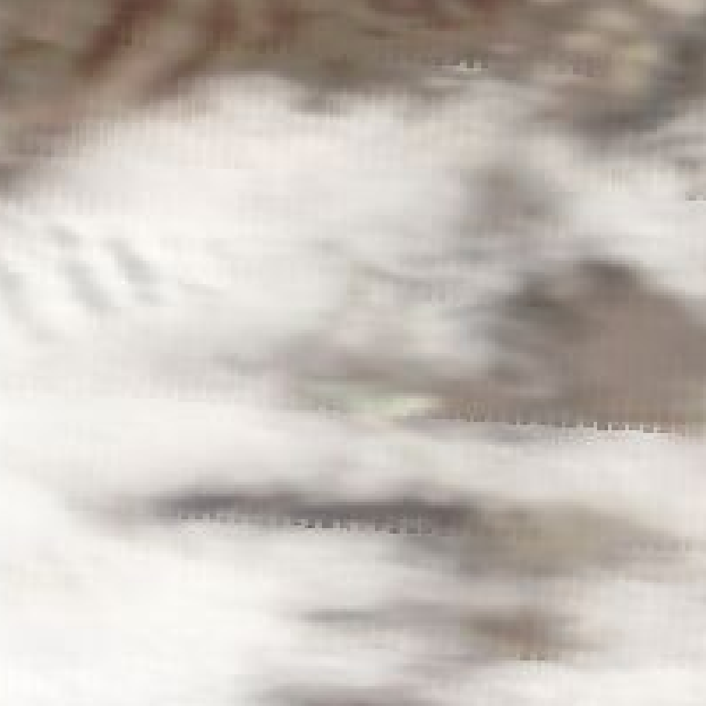
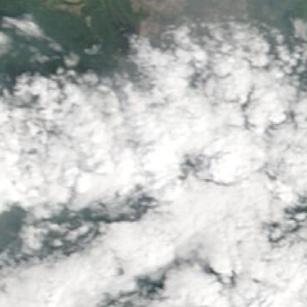
No Clear Visible Expansion or New Land Disturbance at Athabasca Oil Sands Corridor Amid Cloud Cover
Extensive cloud cover in the current 2026-07-19 imagery limits visibility of the Athabasca Oil Sands Corridor, preventing clear observation of open-pit mine growth, tailings pond footprint changes, or new land disturbance compared to the 2026-06-22 baseline.
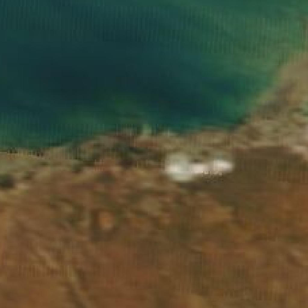
What changedNo definitive large-scale surface changes such as open-pit expansions, tailings pond growth, or new land disturbance can be confirmed due to cloud obscuration. The baseline image showed significant deforestation and cleared land patches consistent with prior large-scale land use change.
Why it mattersVisible large-scale surface changes at the Athabasca Oil Sands Corridor are key indicators of bitumen extraction activity and environmental impact. The inability to confirm changes this period means monitoring must continue to detect potential expansions or environmental risks tied to oil sands operations.